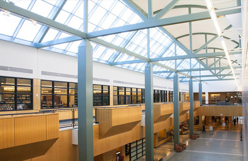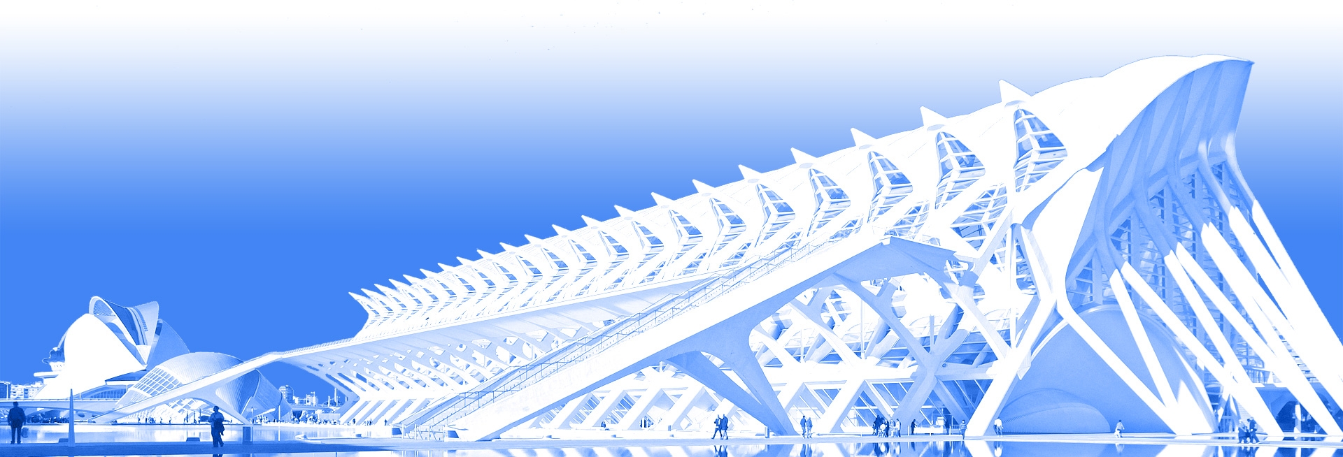
Building Measurement
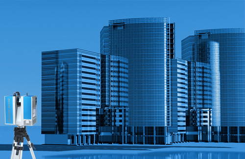
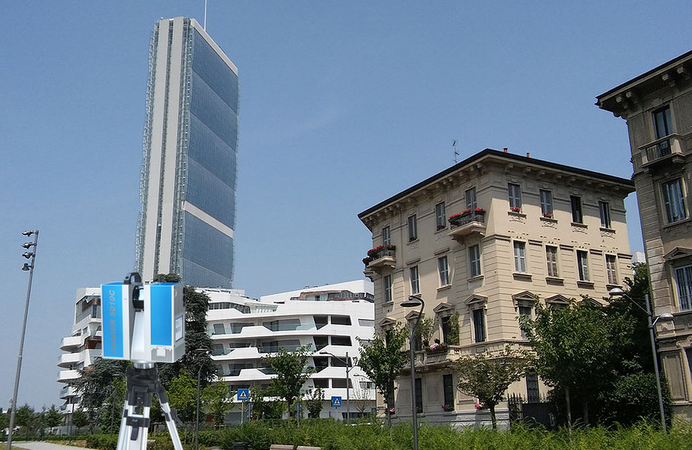
Our survey crew use the most updated survey equipment, 3D laser scanners, robotic total stations and GPS systems, which make possible the execution of highly accuracy and precision surveys.
Results and deliverables
In architectural field, the data produced directly in CAD 2D or 3D can be used for design, renovation, restoration and preservation of assets.
We provide 2D/3D models through a cloud of points that is treated to allow you to easily extract: plans, sections, elevations (2D and 3D), construction details, mesh textured and orthophotos.
We are able to study in detail the architectural critical situations (decay, neglect, cracks, etc. ..), thanks to the precision of the laser survey, also operating a constant monitoring over time.