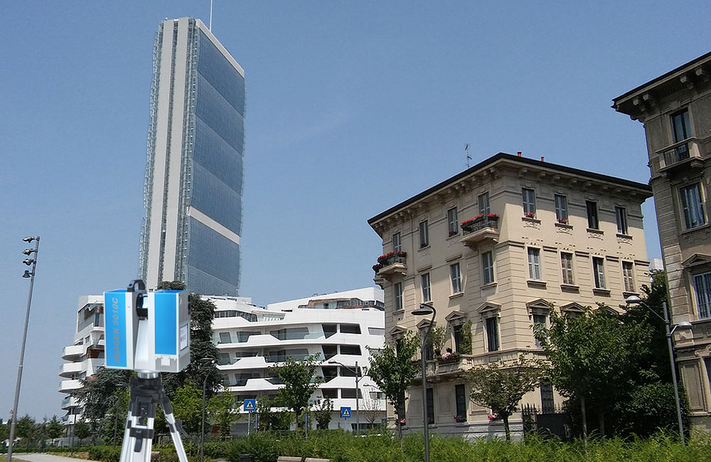
Topographic Surveys
Our survey crew use the most updated topographical equipment, laser scanners, robotic total stations and GPS systems, which make possible the execution of high accuracy and precision surveys.
Results and deliverables
After the processing of survey data, carried out through the use of specialized software, we represent the elements measured through Autocad 2D or 3D CAD models.
We can, at the request of the customer, deliver 3D BIM models (Building Information Model) with Autodesk Revit.