
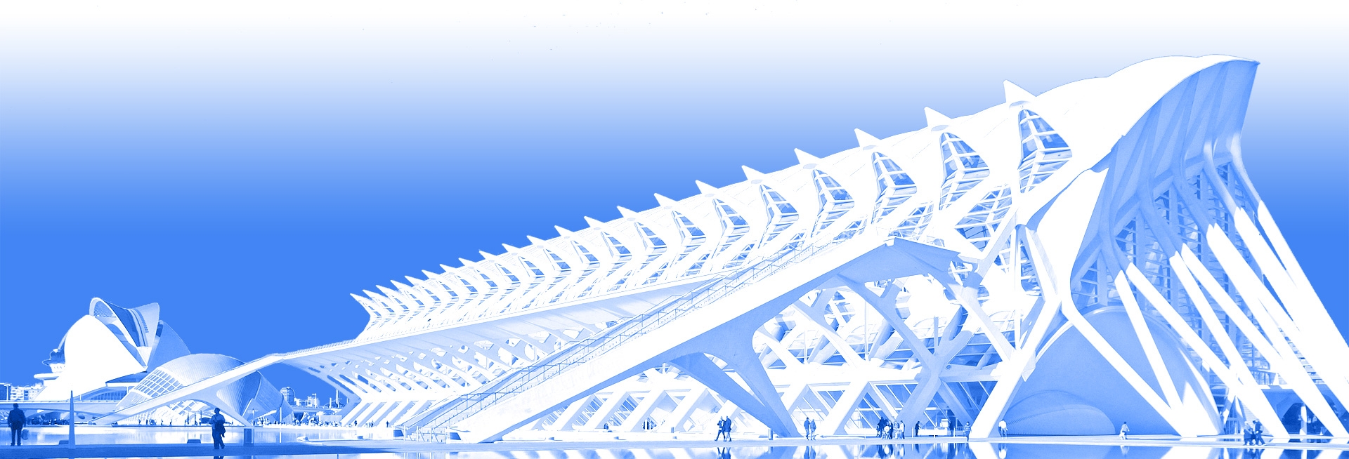


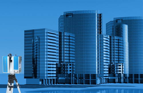
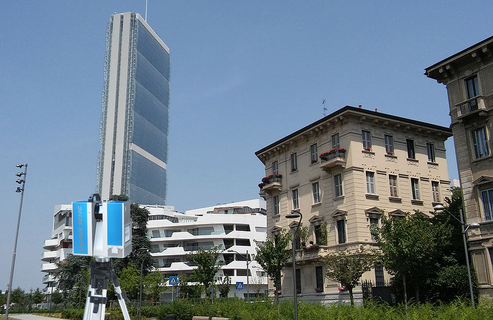
3D Laserscanning
When used for the survey of existing buildings, the 3D laser scanner is able to quickly determine the physical structures, and once it is integrated with BIM it allows our customers to quickly and accurately analyze and display the building even before it starts design phase.
BIM e 3D modeling
The 3D laser scanners capture and represent the geometrical information in the form of three-dimensional points clouds, from which is then educed the 2D/3D model. We are also able to implement BIM 3D models, starting from point clouds or 2D graphical representations provided by the customer.
Topographic Surveys
In the architectural field, the data produced directly in CAD 2D or 3D can be used for design, renovation, restoration and preservation of assets, in addition to real estate assets and the creation of Bim archives.

Building Measurement
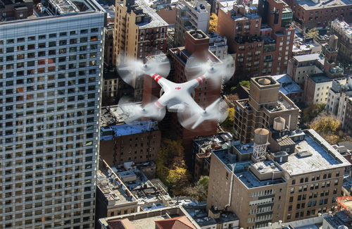
Topographic and Photogrammetric surveys with Drones
